

Arnab remnant pours 55 cm rain on Odisha; Sundargarh, Bargarh on red alert
 By Meera IyerGovernance & Policy Editor, Peepals Bharat
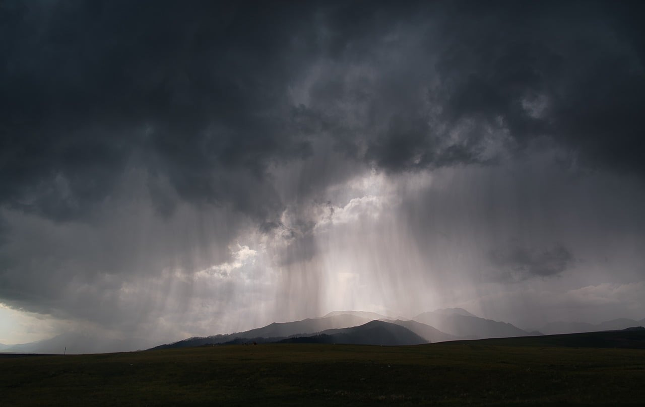
Representative image: r-q / Pixabay
Cyclone Arnab's remnant, a depression over Chhattisgarh and Odisha on October 29, 2026, brought up to 55 cm of rain to south Odisha; IMD issued red alerts.
What Happened
The remnant of Cyclone Arnab has brought exceptionally heavy rain to southern Odisha, with up to 55 cm recorded in 24 hours, as the system weakened into a depression over south Chhattisgarh and adjoining south Odisha on Thursday, October 29, 2026. The India Meteorological Department (IMD) said the depression was likely to keep moving north and weaken into a well-marked low-pressure area over north Chhattisgarh and northwest Odisha. It issued a red warning for extremely heavy rain in Odisha's Sundargarh and Bargarh districts, and Odisha police said rescue and relief teams were working in close coordination.
Key Facts
- Status on October 29, 2026: a depression, the remnant of Very Severe Cyclonic Storm Arnab, over south Chhattisgarh and adjoining south Odisha, moving north and expected to weaken further.
- Rainfall: up to 55 cm in 24 hours in parts of southern Odisha.
- Red warning: Sundargarh and Bargarh districts of Odisha, for extremely heavy rain.
- Orange alert: Keonjhar, Deogarh, Sambalpur, Jharsuguda and Mayurbhanj in Odisha; a yellow warning covers Rayagada, Koraput, Malkangiri, Gajapati and Ganjam for November 1.
- Other states: districts in Chhattisgarh (including Korba, Surguja and Balrampur), Jharkhand (including Palamu and Simdega), Bihar and eastern Uttar Pradesh are under watch; heavy rain is forecast for east and north-east Uttar Pradesh until October 31.
- Delhi-NCR woke to rain and a winter chill on October 30, with air quality improving; reports differ on whether the IMD alert there is yellow or orange.
Why It Matters
A cyclone does not end when it crosses the coast. As Arnab moved inland after its landfall near Kakinada and Yanam on October 28, it lost wind strength but kept carrying a large amount of moisture. That moisture falls as rain far from the coast, which is why districts in western and northern Odisha, Chhattisgarh and Jharkhand, which escaped the cyclone's winds, are now facing flood risk.
Fifty-five centimetres of rain in a single day is an extreme amount. Rain on that scale can cause flash floods in hilly and forested districts, landslides, and overflowing rivers and reservoirs downstream. The IMD's colour codes tell local administrations what to prepare for: yellow means be aware, orange means be prepared, and red means take action.
The forecast track also matters for the harvest. Paddy in much of eastern India is close to cutting in late October. Farmers in coastal Andhra Pradesh and Odisha had already been told to harvest mature crops and store grain safely before landfall; heavy rain further inland now puts standing crops in Chhattisgarh, Jharkhand and Bihar at risk too.
For Delhi, the rain and cooler air are a side effect of the same weather system. Better air quality is a short-term benefit, but the arrival of winter conditions also signals the start of the season when pollution usually rises.
| District or region | Warning or forecast |
|---|---|
| Sundargarh, Bargarh (Odisha) | Red: extremely heavy rain |
| Keonjhar, Deogarh, Sambalpur, Jharsuguda, Mayurbhanj (Odisha) | Orange: very heavy rain |
| Rayagada, Koraput, Malkangiri, Gajapati, Ganjam (Odisha) | Yellow, November 1 |
| East and north-east Uttar Pradesh | Heavy to very heavy rain at isolated places until October 31 |
Impact
Short-term: Flooding, waterlogging and disrupted road and rail travel are possible in the warned districts over the next two days. Residents should follow district administration advisories and avoid crossing flooded rivers and streams.
Long-term: Crop losses in eastern India may rise beyond those already counted in Andhra Pradesh. States will need to assess damage once the rain ends and may seek central assistance.
Who is affected: Residents of western and northern Odisha, Chhattisgarh and Jharkhand; farmers with standing paddy across eastern India; travellers on affected routes; and disaster response teams in the affected states.
Key Takeaway
Cyclone Arnab's remnant, now a weakening depression over Chhattisgarh and Odisha, dumped up to 55 cm of rain in southern Odisha in 24 hours, prompting red warnings for Sundargarh and Bargarh as it moves north.
Questions and Answers
Where is Cyclone Arnab now?
On October 29, 2026, its remnant was a depression over south Chhattisgarh and adjoining south Odisha, moving north and expected to weaken into a well-marked low-pressure area.
Which districts are on red alert?
The IMD issued a red warning for extremely heavy rain in Sundargarh and Bargarh districts of Odisha.
Will Cyclone Arnab bring rain to Uttar Pradesh and Bihar?
Yes. Heavy to very heavy rain is forecast at isolated places in east and north-east Uttar Pradesh until October 31, and districts in Bihar are under watch.
Why did Delhi get rain?
The weather system linked to Arnab's remnant brought rain and cooler air to Delhi-NCR on October 30, which also improved air quality.
Disclaimer: Prepared by the Peepals newsroom from publicly available sources with AI assistance. Information is accurate to the best of our knowledge at the time of publication and may change. Images may be representative. Not professional advice. Report an error via our contact page.
By Meera Iyer, Governance & Policy EditorCovers Governance & Policy and more for Peepals Bharat. All stories by Meera Iyer
Gujarat circular fixes November 26 start of primary schools' second term
Jakson plans Rs 6,863 crore solar cell, wafer plant in Kurnool
Get the day's stories in your inbox
Peepals Weekly: the week decoded, free. One email a week, unsubscribe in one click.
Meera Iyer is a pen name of the Peepals Global Editorial Team, which researches, fact-checks and publishes every story. The portrait is an illustration.