
Saildrone drone sails through eye of Category 3 Hurricane Isaias off Pensacola
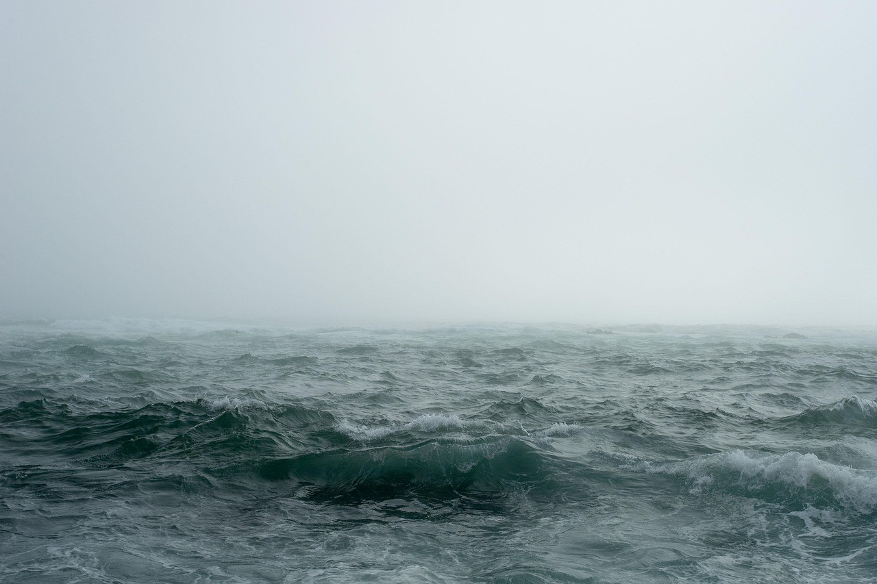
Representative image: Pexels / Pixabay
A remotely piloted Saildrone Explorer crossed the eye of Category 3 Hurricane Isaias 150 nautical miles off Pensacola on October 9, 2026, logging 103 mph gusts.
What Happened
A Saildrone uncrewed sailboat crossed the eye of Hurricane Isaias in the Gulf on Friday, October 9, 2026, while the storm was a Category 3 hurricane heading for the Florida Panhandle. The vessel, a 23-foot Saildrone Explorer numbered SD-1045, was sitting about 150 nautical miles south of Pensacola when the storm moved up the Gulf towards it. Pilots working from the company's control room in Alameda, California, steered it into the northern edge of the storm; it went through the eye and came out on the other side still sending data. Saildrone said the drone recorded wind gusts above 103 mph, and reports put the significant wave height at more than 32 feet. NOAA released video from a saildrone showing the hurricane's eyewall from the sea surface. The same hull had filmed inside Category 4 Hurricane Sam in 2021.
Key Facts
- Saildrone Explorer SD-1045 crossed the eye of Hurricane Isaias on October 9, 2026, about 150 nautical miles south of Pensacola.
- It was piloted remotely from Alameda, California, with no one on board.
- Saildrone reported gusts above 103 mph; significant wave height was reported at more than 32 feet.
- A second saildrone went through the storm's eastern edge, according to reports.
- The work is part of a 2026 NOAA hurricane mission for which Saildrone said it would deploy 10 Saildrone Explorers.
- NOAA's mission page says the 2026 effort also includes 13 Oshen C-Star vehicles in the western Atlantic, Caribbean and Gulf.
- Saildrone's hurricane fleet has grown from five vehicles in 2021 and seven in 2022 to 12 in both 2023 and 2024, according to the company.
Why It Matters
Hurricane forecasters have become good at predicting where a storm will go, but much less sure about how strong it will be when it arrives. The hardest case is rapid intensification, when a storm gains strength very quickly, often over warm water close to land. The 2026 Saildrone mission is built around that problem. According to the company's announcement, NOAA scientists set the targets and task the vehicles as storms form, while Saildrone operates and navigates them. Scientists at NOAA's Atlantic Oceanographic and Meteorological Laboratory and its Pacific Marine Environmental Laboratory then use the readings to study how heat, moisture and momentum move between the ocean and the air, which decides whether a storm strengthens or weakens.
Hurricane hunter aircraft and satellites measure storms from above. Very few instruments can sit at the sea surface under the eyewall, where the ocean feeds energy into a hurricane. A drone with no crew can be steered into that zone without putting people at risk. NOAA has said its data from these vehicles is sent to the World Meteorological Organization's Global Telecommunication System so that the main forecast centres can use it. NOAA oceanographer Greg Foltz, the mission's principal investigator, has said each storm observed adds data to test and improve prediction models.
For the start-up world, the episode shows a commercial ocean-drone company working as part of a public science programme. Under the 2026 arrangement, NOAA decides where the vehicles go and Saildrone runs them. A vessel that survives a Category 3 eyewall and keeps transmitting is a strong demonstration of the hardware for any customer weighing uncrewed vehicles against crewed ships, and the hurricane mission has run every year since 2021.
| Vehicle | What it did |
|---|---|
| SD-1045 (Saildrone Explorer) | Crossed the eye of Isaias on October 9, 2026 |
| Second saildrone | Passed through the storm's eastern edge |
| Same hull in 2021 | Filmed inside Category 4 Hurricane Sam on September 30, 2021 |
Impact
Short-term: The wind, wave and ocean readings from inside Isaias join NOAA's data for this season. They can be compared with what forecast models predicted for the storm's strength before landfall, at a time when communities around Pensacola were dealing with damage to homes and power cuts.
Long-term: Every crossing adds to a small but growing record of conditions at the sea surface beneath hurricanes. If that record helps models predict rapid intensification better, coastal residents get more reliable warnings and emergency managers get more time to order evacuations. It also strengthens the case for uncrewed ocean vehicles as permanent parts of the observing system.
Who is affected: Weather forecasters and researchers, coastal communities on hurricane-prone shores, insurers who price storm risk, and the growing industry of ocean drone makers and their investors.
Key Takeaway
A remotely piloted Saildrone came through the eye of Category 3 Hurricane Isaias still working, showing how uncrewed vehicles can gather the storm data forecasters most need.
Questions and Answers
What is the Saildrone that went into Hurricane Isaias?
It is SD-1045, a 23-foot Saildrone Explorer: an uncrewed sailboat steered remotely. On October 9, 2026, its pilots in Alameda, California, sent it through the eye of Hurricane Isaias about 150 nautical miles south of Pensacola.
What did the drone measure inside the hurricane?
Saildrone said it recorded wind gusts above 103 mph, and reports put the significant wave height (the average of the highest third of waves) above 32 feet. NOAA also released video from a saildrone showing the eyewall at sea level.
Why send a drone into a hurricane?
The sea surface under a hurricane's eyewall is where the ocean feeds the storm, but it is too dangerous for crewed ships. Measurements there help NOAA scientists study rapid intensification, the sudden strengthening that forecasters still struggle to predict.
How many Saildrones are on hurricane duty in 2026?
Saildrone said it would deploy 10 Saildrone Explorers for the 2026 NOAA hurricane mission. NOAA's mission page says the effort also includes 13 Oshen C-Star vehicles.
Disclaimer: Prepared by the Peepals newsroom from publicly available sources with AI assistance. Information is accurate to the best of our knowledge at the time of publication and may change. Images may be representative. Not professional advice. Report an error via our contact page.
Sourced and fact-checked by the Peepals Global Editorial Team
Reported, fact-checked and published by the Peepals Global Editorial Team.