
Hurricane Simon Pounds Mexico's Pacific Coast as Category 4 Storm
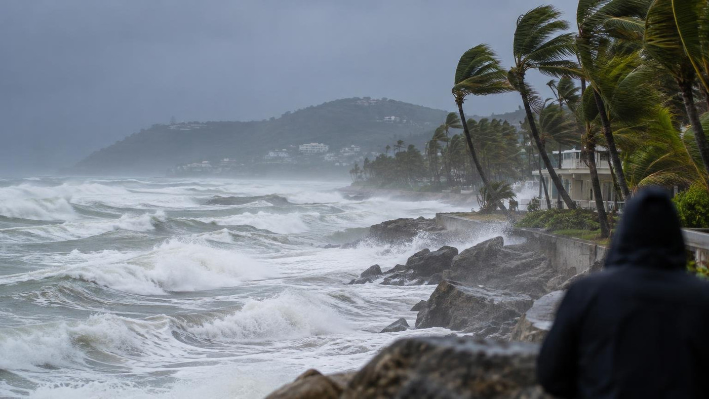
AI-generated representative image
Hurricane Simon, a Category 4 storm with 150 mph winds, battered Mexico's west-central Pacific coast on 11 October 2026, raising flood and surge risks.
What Happened
Hurricane Simon pounded Mexico's Pacific coast as a Category 4 storm on Sunday, 11 October 2026, with its eye just offshore. The US National Hurricane Center (NHC) in Miami said the storm was expected to make landfall or skirt the coast of west-central Mexico that day. Its strongest winds and rain hit communities between the Sierra Madre mountains and the ocean. A hurricane warning was in effect for parts of the Pacific coast.
Key Facts
- The NHC said Simon strengthened into a Category 4 hurricane on Saturday, 10 October 2026, with maximum sustained winds of 150 mph, or about 240 km/h. A storm of this strength is classed as a major hurricane.
- An update on Sunday, 11 October 2026, cited peak winds of 249 km/h. The NHC said strength would fluctuate until the core of the storm reaches the coast.
- The NHC warned that "significant or catastrophic wind, surge, and rainfall appears likely over portions of west-central Mexico". It urged residents to take immediate action to prepare.
- The NHC expects 10 to 20 inches (25 to 50 cm) of rain over parts of southwestern Mexico. Some areas of Michoacan, Colima and Jalisco states could receive up to 30 inches (76 cm).
- On Sunday morning, Simon was centred about 110 miles south-southeast of Cabo Corrientes, moving north-northwest at 6 mph. A dangerous storm surge was also forecast along the immediate coast.
- Authorities in Jalisco state began preparing on Friday, 9 October 2026. The state suspended classes in 22 coastal municipalities for Friday and Monday and started evacuating dozens of people from at-risk areas.
- Jalisco asked the tourism sector in Puerto Vallarta to make sure workers and visitors were fully accounted for. Puerto Vallarta is a popular destination for US tourists, and businesses there boarded up buildings.
- The NHC placed the hurricane about 100 to 115 miles south-southwest of Manzanillo on Saturday, 10 October 2026. Colima, the state around the port, is among the areas forecast to receive the heaviest rain.
Why It Matters
Simon is a major hurricane moving slowly along a populated coast. A slow-moving storm can keep wind and rain over one area for longer. At 6 mph, Simon raises the risk of prolonged flooding and mudslides, especially on steep terrain between the Sierra Madre and the ocean.
Forecasting landfall is difficult. A meteorologist identified as Pappin told the Associated Press the storm was "very close to the coast of Mexico" and that Cabo Corrientes was the area most likely to take a direct hit on Sunday. He said the eye was moving almost parallel to the coast.
That matters for how impacts are described. Even without a formal landfall, the strongest winds around the eye can reach coastal towns. A storm that hugs the shore can also push surge and heavy rain onto land for hours.
The storm also threatens a key trade hub. Stacked shipping containers were photographed at the port of Manzanillo on 10 October 2026 as Simon approached. Port disruption can slow cargo handling for several days.
For India, direct exposure is limited, but the event is relevant. It shows how quickly storms can intensify over warm ocean water, a risk India faces in the Bay of Bengal and Arabian Sea. Mexico is part of global supply chains through its Pacific ports, and Indian travellers and businesses with Mexican links may face delays. The NHC issued warnings well before arrival, and Jalisco closed schools and began evacuations before the winds peaked. These are steps India's coastal states and the India Meteorological Department use when cyclones approach.
Impact
Short-term: Coastal communities in west-central Mexico face damaging winds, storm surge and heavy rain. Schools are closed in 22 Jalisco municipalities, evacuations are under way, and businesses in Puerto Vallarta have boarded up. Flooding and mudslides are the main threat in Michoacan, Colima and Jalisco, where up to 30 inches of rain is forecast. Port handling at Manzanillo could slow for several days. Casualty figures and damage estimates had not been announced on 11 October 2026.
Long-term: What happens next depends on whether the eye moves inland or stays offshore. If it stays close to the coast, strong winds and surge could continue. If it moves inland, the steep terrain could weaken it but add to flood and mudslide risk. The danger from flooding may last beyond the storm's closest approach. The NHC will keep issuing updates. For policymakers, comparing early warning systems, evacuation timing and tourism safety rules across regions is a useful exercise.
Who is affected: Residents of Mexico's west-central Pacific coast, including Jalisco, Colima and Michoacan states, are most directly affected. Tourists and workers in Puerto Vallarta, a popular destination for US tourists, are also affected. Shipping and trade linked to the port of Manzanillo face possible delays. In India, exposure is limited, but travellers and businesses with Mexican links may face disruption, and coastal disaster agencies may draw lessons on preparedness.
Key Takeaway
As of 11 October 2026, the NHC expects catastrophic wind, surge and rain from Category 4 Hurricane Simon, with up to 30 inches of rain forecast and evacuations under way in Jalisco.
Questions and Answers
How strong is Hurricane Simon?
Hurricane Simon is a Category 4 storm. The US National Hurricane Center said its maximum sustained winds reached 150 mph, about 240 km/h, and a Sunday update cited peak winds of 249 km/h.
Where is Hurricane Simon hitting Mexico?
Hurricane Simon is battering Mexico's west-central Pacific coast. On 11 October 2026 its eye was just offshore, and Cabo Corrientes was seen as the area most likely to take a direct hit.
How much rain will Hurricane Simon bring?
The NHC expects 10 to 20 inches (25 to 50 cm) of rain over parts of southwestern Mexico. Some areas of Michoacan, Colima and Jalisco could get up to 30 inches (76 cm).
What are Mexican authorities doing about Hurricane Simon?
Jalisco state suspended classes in 22 coastal municipalities for Friday and Monday and began evacuating dozens of people. It also asked Puerto Vallarta's tourism sector to account for all workers and visitors.
Disclaimer: Prepared by the Peepals newsroom from publicly available sources with AI assistance. Information is accurate to the best of our knowledge at the time of publication and may change. Images may be representative. Not professional advice. Report an error via our contact page.
Sourced and fact-checked by the Peepals Global Editorial Team
Reported, fact-checked and published by the Peepals Global Editorial Team.