
Claudia Sheinbaum: border commission, not Texas, decides Rio Grande islands
 By Rohan SalujaGeopolitics Editor, Peepals Global
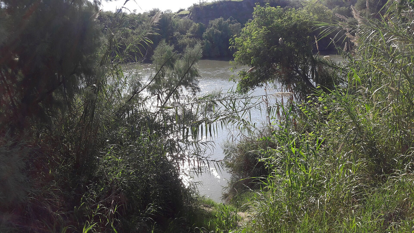
File photo: Miguel Angel Omaña Rojas (CC BY 4.0), via Wikimedia Commons
Mexico's President Claudia Sheinbaum said on 3 November 2026 that Texas cannot claim nine Rio Grande islands; a binational boundary commission must decide.
What Happened
Mexico's President Claudia Sheinbaum said on Tuesday, 3 November 2026, that the state of Texas has no power to decide who owns nine small islands in the Rio Grande, the river Mexicans call the Rio Bravo. Speaking at her morning press conference in Mexico City, she said the question belongs to the International Boundary and Water Commission, the joint body the two federal governments set up to apply their border treaties, and that Mexico would pursue the matter through diplomatic channels. She also linked the timing of the Texas claim to the United States midterm elections held the same day.
Key Facts
- The Texas General Land Office, led by Land Commissioner Dawn Buckingham, announced on Tuesday, 27 October 2026, that nine islands in the river are Texas state property.
- The nine islands lie along the river between Laredo and McAllen and cover about 66 acres in total, according to the land office's announcement as reported in Texas.
- The land office reviewed 20 islands in all; Buckingham said the other 11 are likely Mexican because of where they sit in the river, though some are still under review.
- Mexico's foreign ministry rejected the claim in a diplomatic note on Friday, 30 October 2026, saying only the two federal governments can set the border.
- Mexico relies on the 1970 Boundary Treaty, which runs the international line along the middle of the river's normal channel.
- Sheinbaum said the islands formed naturally as the river's water moved, and that Texas's statements are not a final decision on sovereignty.
- Texas officials said ownership would let state and other law enforcement patrol the islands and deny drug cartels possible hiding places; they have not said that criminal activity has been confirmed on the nine islands.
Why It Matters
Rivers make awkward borders because they move. Sand and silt build up, channels shift and new land appears in the middle of the stream. The 1970 treaty between the United States and Mexico was written to handle exactly this. It fixes the boundary along the centre of the normal channel and gives the binational commission, known in Spanish by the initials CILA, the job of deciding on which side of that line each piece of new land falls. In Mexico's reading, a single US state cannot do that job for itself.
Texas frames the move as a security measure. Buckingham said uncertainty over who owned the islands had limited the ability to monitor and protect them. Texas has made a similar claim before: in 2023 it said Fronton Island belonged to the state, and that claim was disputed by the federal government in Washington, which treated the island as federal property. The new designation goes wider, covering nine islands at once along a busy stretch of the border.
Sheinbaum avoided turning the issue into a quarrel with the US federal government. She placed it with the existing treaty body and with diplomacy, while saying that electoral interest in Texas explained the timing. The search results reviewed for this story did not include a response from the US federal government to Mexico's note, so Washington's position on the new Texas claim is not yet public.
Peepals calculation: The nine islands cover about 66 acres, which is roughly 26.7 hectares (66 × 0.4047) and matches the "about 27 hectares" reported in Mexico; that is an average of about 7.3 acres, or 3 hectares, per island (66 ÷ 9). The nine claimed islands are 45% of the 20 that Texas reviewed (9 ÷ 20). Our calculation from the reported figures.
| Item | Texas position | Mexico position |
|---|---|---|
| Who decides ownership | Texas General Land Office | Binational boundary commission (CILA) |
| Legal basis cited | State land survey | 1970 Boundary Treaty |
| Stated reason | Border security, cartel hiding places | Islands formed naturally; treaty applies |
| Next step | State control and patrols | Diplomatic channels |
Impact
Short-term: The claim adds a new irritant to US-Mexico relations at a time when the two governments already talk regularly about security, migration and trade. Mexico has put its objection on record through a formal note, and the president has now repeated it publicly.
Long-term: If the dispute reaches the boundary commission, its finding on each island would carry the weight of the 1970 treaty. A state-level claim that is not backed by Washington is unlikely, on its own, to change the international line, but it can shape who patrols the islands on the ground.
Who is affected: Border communities between Laredo and McAllen on both banks; law enforcement agencies on both sides of the river; and the two federal governments, which share responsibility for the treaty.
For readers in India, the case is a clear example of a wider problem that any country with a river border faces: land made and unmade by the water does not fit neatly into lines drawn on a map, which is why treaty bodies and joint commissions exist.
Key Takeaway
Texas says nine Rio Grande islands are state land, but Mexico's President Claudia Sheinbaum says only the binational boundary commission, under the 1970 treaty, can decide which country owns them.
Questions and Answers
What did Claudia Sheinbaum say about the Texas islands?
On 3 November 2026 she said Texas cannot decide who owns nine islands in the Rio Grande, that the binational International Boundary and Water Commission must decide under the 1970 treaty, and that Mexico would pursue the matter diplomatically.
Which islands does Texas claim?
The Texas General Land Office said on 27 October 2026 that nine islands between Laredo and McAllen, covering about 66 acres, are state property. It reviewed 20 islands and said the other 11 are likely Mexican.
Why does Texas want the islands?
Texas officials say clear ownership lets law enforcement patrol them and keeps them from becoming hiding places for drug cartels. They have not reported confirmed criminal activity on the nine islands.
What does the 1970 treaty say about the river border?
According to Mexico's foreign ministry, the treaty places the border along the middle of the river's normal channel and gives the binational boundary commission the task of deciding which side of the line each island lies on.
Disclaimer: Prepared by the Peepals newsroom from publicly available sources with AI assistance. Information is accurate to the best of our knowledge at the time of publication and may change. Images may be representative. Not professional advice. Report an error via our contact page.
By Rohan Saluja, Geopolitics EditorCovers Geopolitics and more for Peepals Global. All stories by Rohan Saluja
Taken: Natalee Holloway on Netflix: three-part series centres on her mother
Kimi Antonelli racing number decision: champion keeps No. 12 for 2027
Get the day's stories in your inbox
Peepals Weekly: the week decoded, free. One email a week, unsubscribe in one click.
Rohan Saluja is a pen name of the Peepals Global Editorial Team, which researches, fact-checks and publishes every story. The portrait is an illustration.